top of page
shelter_expanse
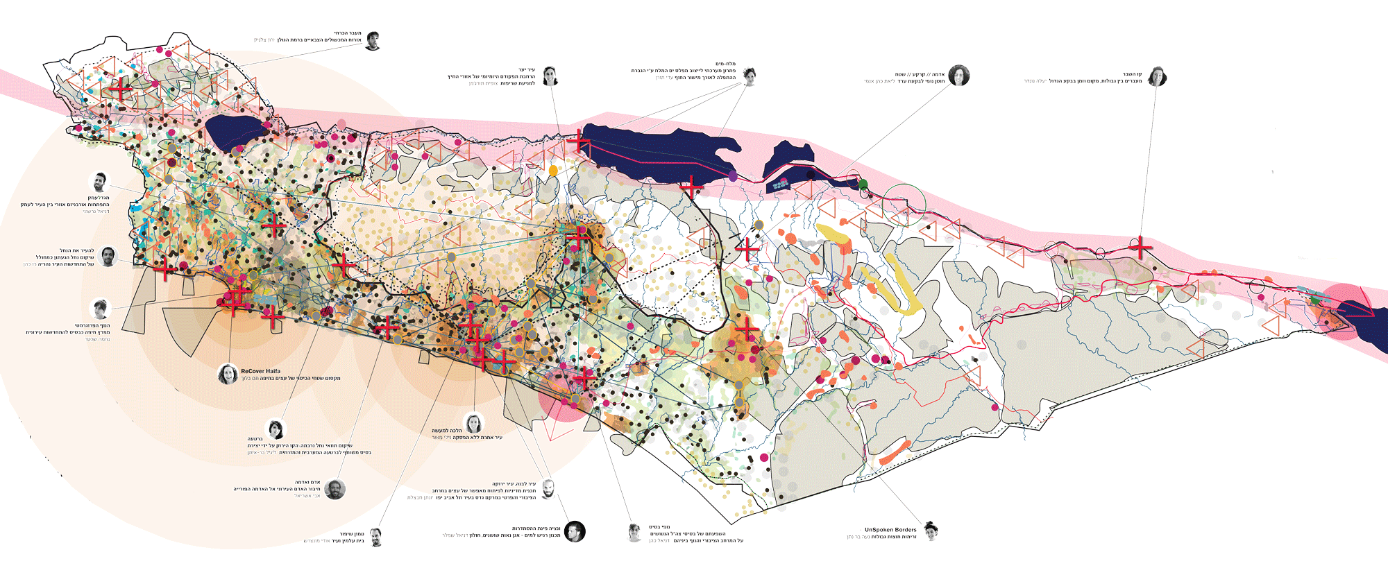
architecture, landscape, planning _ based on mappings of relationships between people and lands.

shelter_expanse
_ sack and reicher
bridging communities
by restoring landscapes.
> in these harsh times, we believe that especially around open, external spaces,
we can mediate between communities - creating landscapes of agreement.
> by integrating building systems and ecosystems, water and agriculture,
cities and regions, communities and society.
> based on mappings and applied research of the relationships
between people and the land - productions, geopolitics, myths.


current work


land _ mappings
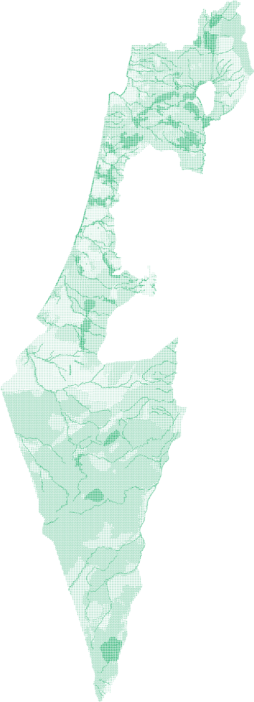


analysis for israeli national outline plan (tama 35).
regional analysis and planning of geopolitical scenarios.
>~| landbasics _ river ~ sea


landscape _ fields _ village
historical research : land and agriculture, paths to the village.
land towards 100
israel 100 initiative : landscape.
regional landscape and urbanism


the un-incorporated zone
regional multi-disciplinary plan for the un-incorporated zone (area of the bedouin unrecognised villages) of the eastern negev.
wadis network _ edge of desert
masterplan for the streams of the bedouin city rahat, and stream renovation implementation.
regional and detailed materplan for the protection of the aelionite cliffs of hedera, emek hefer, tel aviv-jaffa, and bat yam.

national, regional and detailed landscape materplans for haifa bay.


between two views
landscape materplans for west ramat hasharon.
masterplan for west tiberias.
rewilding _ streams


ayalon river renovation and park, lod.


kovshim river restoration and metropolitan park, be'er sheva.
.jpeg)
.jpeg)
desert orchard _ wadi terraces
wadi restoration of historic terraces, with community agriculture, near mitzpe ramon.
rewilding _ gardens


quarry _ batha plain
yad natan quarry restoration and park.


landscape restoration and public space for malkiya historic stone mill.


proposal for gvarm'am memorial.
urban spaces - squares

mitzpe ramon.

jerusalem arts campus.

design museum and mediateque square, holon.
urban spaces
- equal gardens


park neighbourhood be'er sheva - landscape masterplan to construction.


restoration of public garden, tira.
building systems

an infrastructure path, bat yam.

robotic darbuka drums along a path to the sea, bat yam.


lightweight moveable structural system _ tel aviv-jaffa and sydney, australia.


proposal for pavillions.
above and below the horizon

proposal for israeli pavilion for expo milan 2015, 2nd place in an open design competition.
bridge pavilion and garden

unesco heritage residential building extention, tel aviv-jaffa.
a room

shelter_expanse _ contact: studio@s--r.co _ +972 (0) 584 842284 _ kibbutz galuyot 73 tel aviv-jaffa _
bottom of page